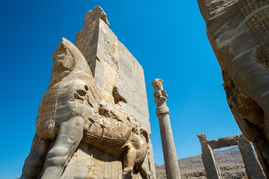
In brief. The Achaemenid empire was divided into provinces called satrapies, each under a governor. Roads and a system of travel documents held it together; a famous Greek description of one road, the Royal Road, is only part of the evidence.
Empires are held together by communication. The Achaemenid kings ruled territory from the Aegean coast to the Indus valley and from Egypt to Central Asia, and they governed through a network that mixed local custom with a common royal system.
The road that Herodotus describes
The Greek historian Herodotus, writing in the 5th century BCE, describes a road from Sardis, in western Anatolia, to Susa, in south-west Iran. He gives stages and royal stations along the route and says it took a traveller about three months on foot. This is the “Royal Road” of textbooks.
Herodotus describes a long, well-organised road with regular stations and guard posts between Sardis and Susa. Persian administrative texts confirm that roads were supplied with stations.
The Royal Road was not a single paved highway. It was the best-known line in a larger system of routes, some improved and some not, that served messengers, officials and armies.
Messengers
Herodotus also describes a relay of mounted couriers who passed messages from rider to rider. A line of his about them, praising their speed in all weather, was later quoted on a post office building in New York. How fast the system actually worked, and how it was used, is hard to confirm from Persian sources.
Rations and travel papers
The clearest evidence comes from the Persepolis Fortification tablets. They record rations issued to travellers on royal business, with the traveller’s origin and destination and the number of people in the party. These records suggest that travellers needed documents and that the stations were provisioned from the royal stores.
Satrapies
The empire was divided into provinces, each under a governor called a satrap, and each paid a levy to the king. Greek sources and Persian inscriptions give lists of the provinces, and the lists differ from one another. The governors had a lot of local power, which the king balanced with inspectors, garrison commanders and the threat of royal intervention.
A flexible system
What stands out in the evidence is variety. The kings let local languages, laws and religions continue in many provinces, while a small set of shared tools (roads, writing in Aramaic as an official language, measures, tax) tied the whole into one. That approach lasted for over two centuries.
Notes and sources
- Pierre Briant, From Cyrus to Alexander: A History of the Persian Empire, trans. Peter T. Daniels (Eisenbrauns, 2002).
- Richard T. Hallock, Persepolis Fortification Tablets (Oriental Institute Publications 92, 1969).
- Amélie Kuhrt, The Persian Empire: A Corpus of Sources from the Achaemenid Period (Routledge, 2007) (translation of Herodotus's passages and other sources).
This article is also available in: Nederlands فارسی